PennDOT - GeoSnap 1.13
Free Version
Publisher Description
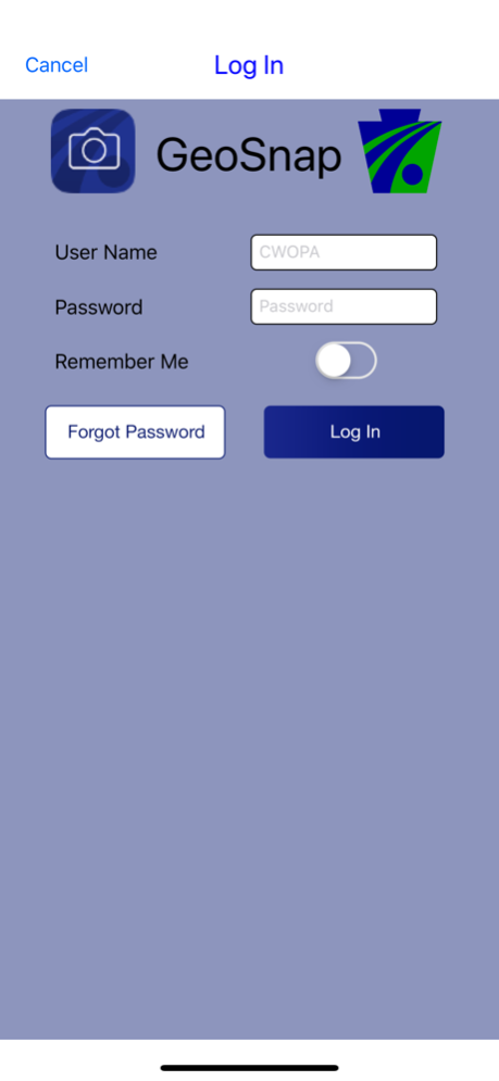
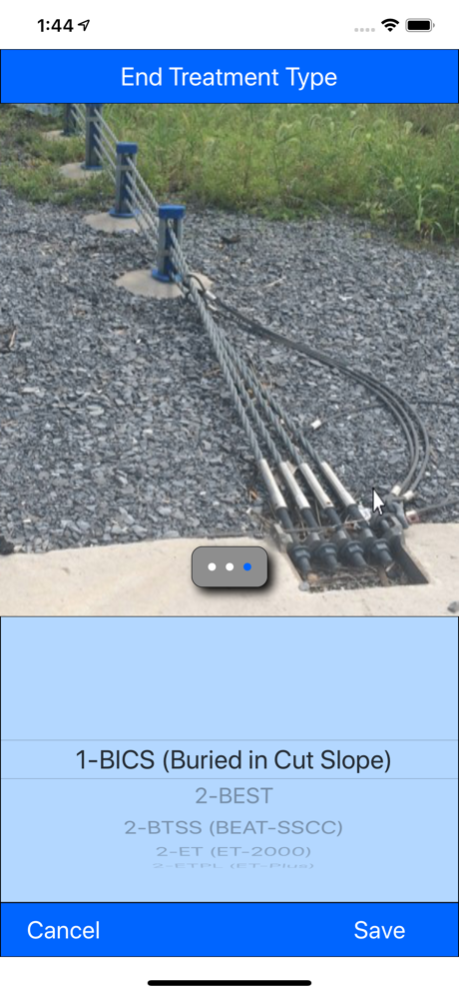
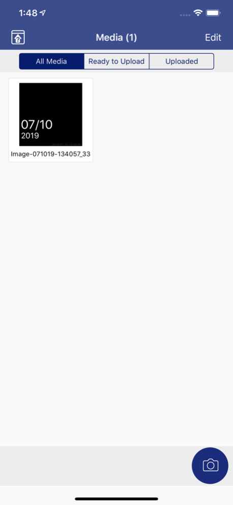
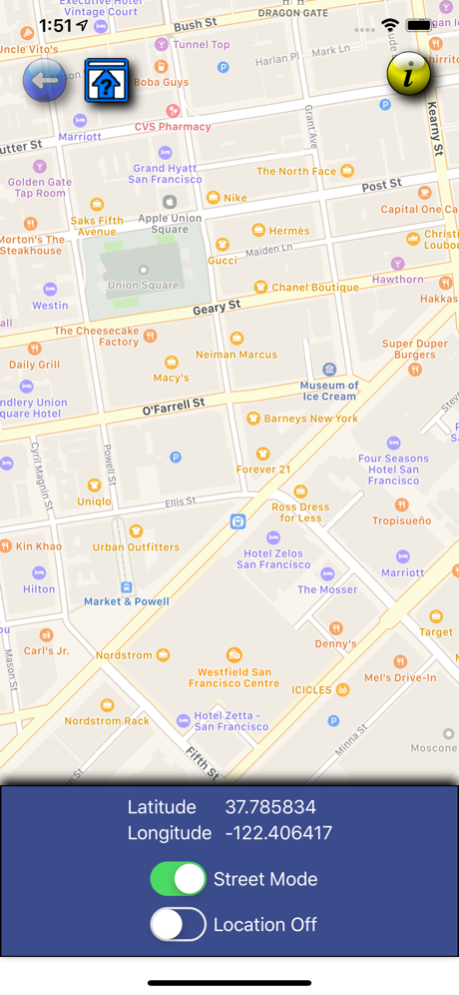
The PennDOT - GeoSnap app allows photos to be taken, tagged with latitude, longitude, and business data then securely uploaded to the Maintenance IQ application.
Mar 28, 2024
Version 1.13
Code updates and various bug fixes.
About PennDOT - GeoSnap
PennDOT - GeoSnap is a free app for iOS published in the Office Suites & Tools list of apps, part of Business.
The company that develops PennDOT - GeoSnap is Executive Office of The Commonwealth of Pennsylvania. The latest version released by its developer is 1.13.
To install PennDOT - GeoSnap on your iOS device, just click the green Continue To App button above to start the installation process. The app is listed on our website since 2024-03-28 and was downloaded 0 times. We have already checked if the download link is safe, however for your own protection we recommend that you scan the downloaded app with your antivirus. Your antivirus may detect the PennDOT - GeoSnap as malware if the download link is broken.
How to install PennDOT - GeoSnap on your iOS device:
- Click on the Continue To App button on our website. This will redirect you to the App Store.
- Once the PennDOT - GeoSnap is shown in the iTunes listing of your iOS device, you can start its download and installation. Tap on the GET button to the right of the app to start downloading it.
- If you are not logged-in the iOS appstore app, you'll be prompted for your your Apple ID and/or password.
- After PennDOT - GeoSnap is downloaded, you'll see an INSTALL button to the right. Tap on it to start the actual installation of the iOS app.
- Once installation is finished you can tap on the OPEN button to start it. Its icon will also be added to your device home screen.
